What sets a Jellystone Park vacation apart?
How it brings families together.
What sets a Jellystone Park vacation apart?
How it brings families together.
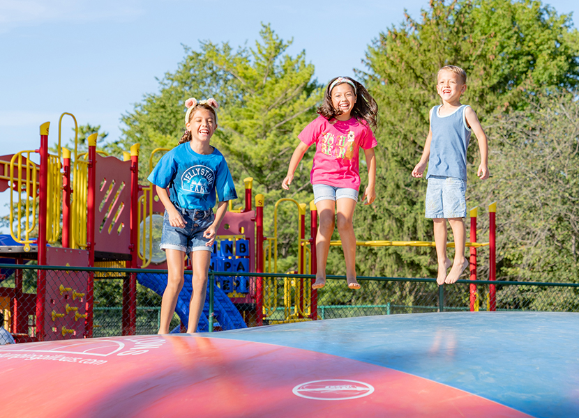
Endless fun from Day One
Pools, splashgrounds, water slides, jumping pillows, wagon rides, mini-golf, lakes, beaches, boating, and more. If just reading about it sounds like fun, wait ‘til you get here.
Attractions
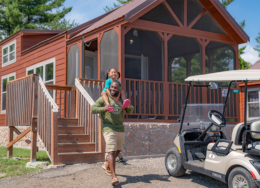
Stay your way
Choose your bear cave: the comfort of a luxury cabin, the convenience of an RV site, the tradition of tent camping, or the novelty of a yurt. Jellystone Park’s first-rate family glamping and camping accommodations add an extra element of fun and adventure.
Cabins & Camping
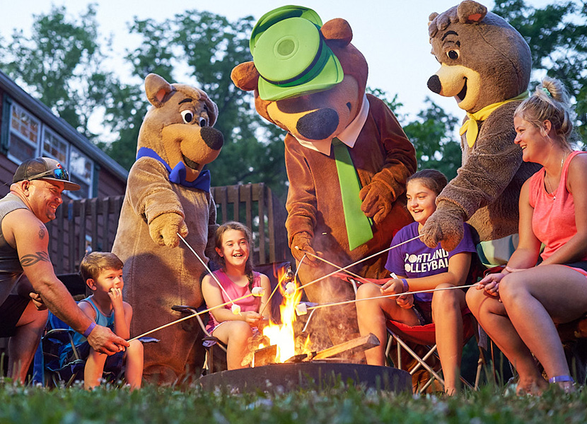
Make every moment memorable.
From theme weeks to daily activities like crazy relay races and arts and crafts, your family will be making memories that last a lifetime. And with Yogi Bear™ and Boo Boo™ as your campground hosts, you’ll see your kids more animated than ever.
Activities & Character Fun